LONG-TERM WEATHER FORECAST FOR THE UPCOMING WINTER HAS ARRIVED
The long-term weather forecast for the autumn and winter of 2024/2025 in the region is reminiscent of predictions from 10 or more years ago, when temperatures and precipitation followed the calendar patterns.

According to the preliminary forecast by Prof. Dr. Aleksandar Valjarević and meteorologist Ivan Ristić, this year will see significantly more snowfall than in previous years, with the first snowflakes expected in the second half of November.
Valjarević and Ristić have created a map showing the number of days with snow across various districts, indicating that the highest number of snowy days will occur south of Belgrade.
It is estimated that ski resorts, unlike last season, will be covered with snow for a significantly longer period:
As reported, the first snow in the region is expected in November, with the most snowfall occurring in January and February of next year.
"According to our preliminary long-term forecast, the first snowfalls will be in the second half of November, most likely towards the end of the month, particularly south of Belgrade, but also in Belgrade itself. December will see two to three snowy episodes, while the most snowfall is expected in January and February. The characteristic of this winter is that the Azores and Siberian anticyclones will dominate, but also the Mediterranean cyclone. This means that when cold air arrives, we will see a lot of snow. In short, cold air from northern and northeastern Europe and moist Mediterranean air form a polar front with snow. The polar, and sometimes Arctic, front will periodically fluctuate over Serbia," said Ivan Ristić for "Blic".

Join our
Viber Community

COULD EUROPE SOON FACE TEMPERATURES ABOVE 50°C?
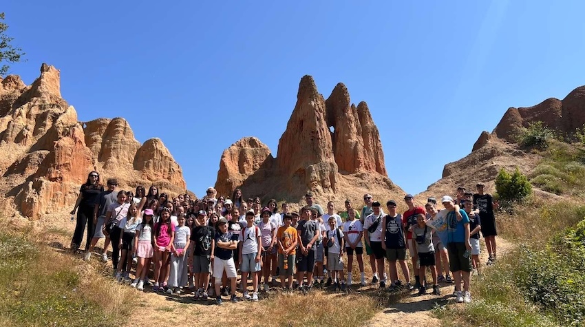
CHILDREN FROM KOSOVO AND METOHIJA DISCOVER THE NATURAL BEAUTY OF FOČA
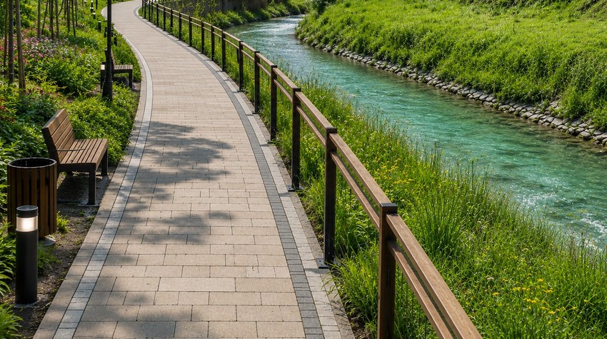
CALL FOR CONCEPTUAL DESIGN PROPOSALS ISSUED FOR PROMENADE ALONG THE PALJANSKA MILJACKA RIVER

PABLO ESCOBAR’S FORMER AIRCRAFT TRANSFORMED INTO A LUXURY AIRBNB RETREAT
WHAT TO EXPECT FROM THIS YEAR’S “PRKOS FEST” IN DERVENTA
WHAT TO EXPECT FROM THIS YEAR’S “PRKOS FEST” IN DERVENTA
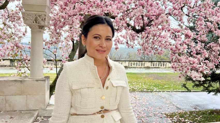
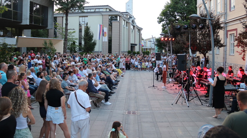
MINJA ŠURLAN: SUMMER ON THE VRBAS 2026 BRINGS A PROGRAM REVOLUTION AND A MONTH OF ENTERTAINMENT FOR ALL GENERATIONS

OFFLINE DAY IN BANJA LUKA – MARBLES, NOT CLICKS

FROM SWIMMING TO A MASSAGE ON A RAFT: BOČAC OFFERS AN UNFORGETTABLE ESCAPE
CALL FOR CONCEPTUAL DESIGN PROPOSALS ISSUED FOR PROMENADE ALONG THE PALJANSKA MILJACKA RIVER


 The situation at the border crossings