THE PEAKS OF KOZARA ROSE ABOVE THE PANNONIAN SEA
Did you know that Kozara is an island mountain whose highest peaks rose from the Pannonian Sea approximately 65 million years ago?

As the Pannonian Sea receded, Kozara first became a
peninsula, and after the drainage of the Pannonian Gulf of Paratethys, it
became part of a wider contiguous landmass.
A general characteristic of the relief of the area of today's National Park is great dynamism, with pronounced terrain slopes, alternating between incised valleys, mountain slopes, ridges, and isolated peaks.
The highest point of Kozara is Gola Mountain at 874 meters
above sea level, while Mrakovica stands at 806 meters above sea level.
"Nature took millions of years to create what we enjoy
today, so let's treat its beauties and values with care and respect,"
the NP Kozara emphasized.

Join our
Viber Community

COULD EUROPE SOON FACE TEMPERATURES ABOVE 50°C?

CHILDREN FROM KOSOVO AND METOHIJA DISCOVER THE NATURAL BEAUTY OF FOČA
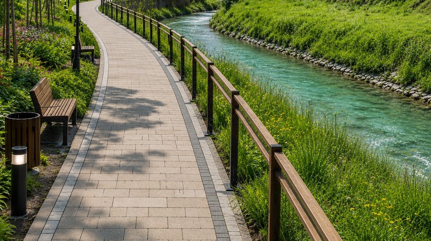
CALL FOR CONCEPTUAL DESIGN PROPOSALS ISSUED FOR PROMENADE ALONG THE PALJANSKA MILJACKA RIVER

PABLO ESCOBAR’S FORMER AIRCRAFT TRANSFORMED INTO A LUXURY AIRBNB RETREAT

WHAT TO EXPECT FROM THIS YEAR’S “PRKOS FEST” IN DERVENTA
WHAT TO EXPECT FROM THIS YEAR’S “PRKOS FEST” IN DERVENTA

MINJA ŠURLAN: SUMMER ON THE VRBAS 2026 BRINGS A PROGRAM REVOLUTION AND A MONTH OF ENTERTAINMENT FOR ALL GENERATIONS

OFFLINE DAY IN BANJA LUKA – MARBLES, NOT CLICKS

FROM SWIMMING TO A MASSAGE ON A RAFT: BOČAC OFFERS AN UNFORGETTABLE ESCAPE
CALL FOR CONCEPTUAL DESIGN PROPOSALS ISSUED FOR PROMENADE ALONG THE PALJANSKA MILJACKA RIVER


 The situation at the border crossings