MARTIN BROD ENTERS A NEW PHASE OF ENVIRONMENTAL PROTECTION
The Federal Ministry of Spatial Planning has launched a public procurement process for the development of a Zoning Plan for the urban area of Martin Brod, one of the most ecologically valuable regions in Bosnia and Herzegovina.

The
open procurement procedure has an estimated value of 49,000 KM, with the
deadline for submitting bids set for December 18, 2025, at 9:00 a.m.
Documentation can be downloaded until December 16, and the process includes an
e-auction. The procurement is not divided into lots.
The
plan will be developed at the headquarters of the selected contractor, with
mandatory field work in Martin Brod — a unique natural area located within Una
National Park.
WHY IS THE ZONING PLAN BEING CREATED?
In
2024, the Parliament of the Federation of BiH adopted a decision to begin
drafting a Zoning Plan for Martin Brod, which will remain valid for 10 years.
This area is considered one of Bosnia and Herzegovina’s most precious natural
gems, known for its karst springs, pristine waters, tufa barriers, and rich
biodiversity. The Martin Brod waterfalls are already on UNESCO’s Tentative
List, and the nomination file will serve as a key reference during the drafting
process.
However,
the area faces serious threats — from the planned construction of a mini
hydroelectric plant to the expansion of a local fish farm, identified as the
main polluter. The zoning plan aims to define clear protection regimes and
spatial usage conditions to preserve the area’s authentic hydrological and
ecological processes.
CHALLENGES IN ACCESS AND LOCAL DEVELOPMENT
Despite
its proximity to the Croatian border, Martin Brod lacks a road border crossing,
creating significant difficulties for residents in accessing their properties
and moving across the area. Only an inactive railway crossing exists, further hindering
tourism development and local mobility.
WHAT WILL THE ZONING PLAN INCLUDE?
The
plan will define:
·
boundaries of the planning area and individual zones,
·
urban and technical conditions,
·
planned structures,
·
public space, greenery, and access road organization,
·
protection conditions for natural and built assets within the area.
It
must be produced in GIS format with a complete attribute database, in
accordance with current legal standards.
The
total coverage of the plan is 102.66 hectares, of which around 41 hectares will
be designated as transitional planning zones. The remaining area is under
conservation or dedicated to presenting natural and cultural values.
The
plan will be developed in phases: preliminary draft/draft and final proposal.
The preliminary draft must include documentation and analysis of the current
state, as well as proposed solutions based on expert evaluations.
This
project will provide Martin Brod with a key strategic document that will shape
its future, support sustainable development, and ensure the long-term
protection of a region of exceptional natural importance.

Join our
Viber Community

COULD EUROPE SOON FACE TEMPERATURES ABOVE 50°C?
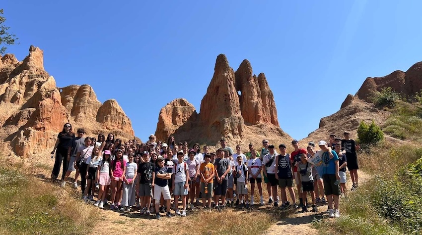
CHILDREN FROM KOSOVO AND METOHIJA DISCOVER THE NATURAL BEAUTY OF FOČA
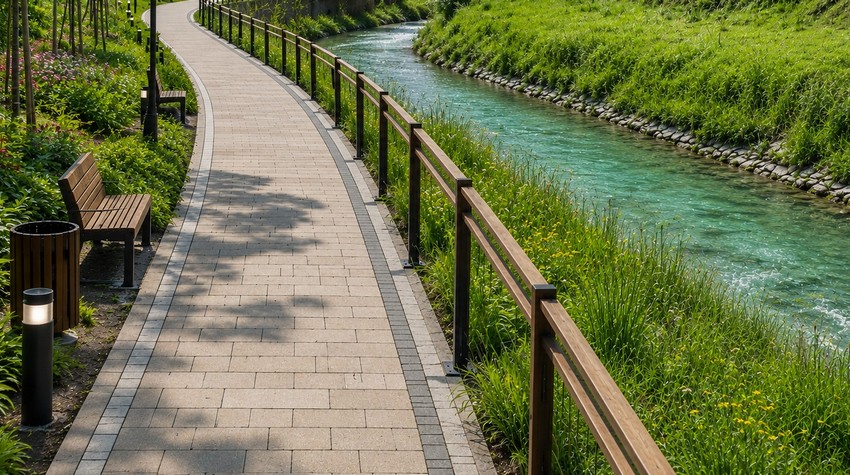
CALL FOR CONCEPTUAL DESIGN PROPOSALS ISSUED FOR PROMENADE ALONG THE PALJANSKA MILJACKA RIVER

PABLO ESCOBAR’S FORMER AIRCRAFT TRANSFORMED INTO A LUXURY AIRBNB RETREAT

WHAT TO EXPECT FROM THIS YEAR’S “PRKOS FEST” IN DERVENTA
WHAT TO EXPECT FROM THIS YEAR’S “PRKOS FEST” IN DERVENTA

MINJA ŠURLAN: SUMMER ON THE VRBAS 2026 BRINGS A PROGRAM REVOLUTION AND A MONTH OF ENTERTAINMENT FOR ALL GENERATIONS

OFFLINE DAY IN BANJA LUKA – MARBLES, NOT CLICKS

FROM SWIMMING TO A MASSAGE ON A RAFT: BOČAC OFFERS AN UNFORGETTABLE ESCAPE
CALL FOR CONCEPTUAL DESIGN PROPOSALS ISSUED FOR PROMENADE ALONG THE PALJANSKA MILJACKA RIVER


 The situation at the border crossings